Thursday, August 28, 2014

Vancouver and Hornby Island

Last week Jim and I had the good fortune to travel to Vancouver for some business and a little pleasure. Vancouver is one of my favorite places in Canada. The Pacific Northwest coast....there's nothing like it. While Jim was working, I walked all over downtown Vancouver and Stanley Park. My favorite area is still the West End. We had dinner at the Sand Piper Restaurant on Granville Island one evening, and admired the Vancouver skyline while it changed from dusk to dark. We witnessed some pretty brave paddle boarders that would wait for large tour boats to come by...then paddle like crazy to get into their wake. Somehow the wake would pull them along without too much effort. At one point, there were three paddle boarders keeping up with a huge Mississippi style paddle boat. 

Vancouver has some beautiful golf courses. We played at a little "gem" of a course in North Vancouver called Northlands. We were hoping for a nice relaxing day, but of course we were matched up with some CRAZY guys celebrating a fiftieth birthday. I'm not sure how they drove home afterwards with all the beer they consumed.

At the end of the week, we traveled by car and three ferries to visit our friends Jeff, Judy and their son, Grif, on Hornby Island. The island life is magical, and Jeff and Judy's house is beautiful. I can see why they love it so much. We had wonderful dinners every evening sitting on their deck overlooking Tribune Bay. (The very same bay where Oprah parked her yacht last summer!) Thank you for having us Jeff and Judy!


The view towards Stanley Park from our hotel in Vancouver

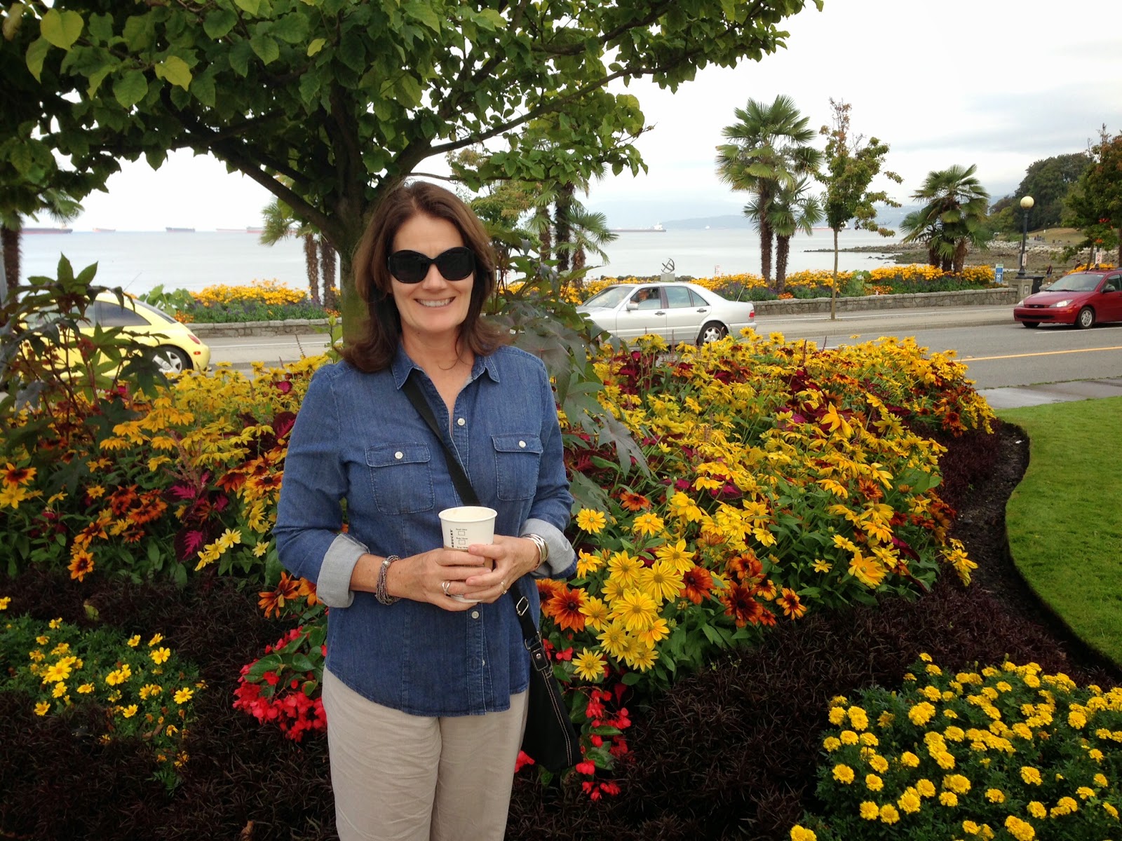
Flowers near English Bay

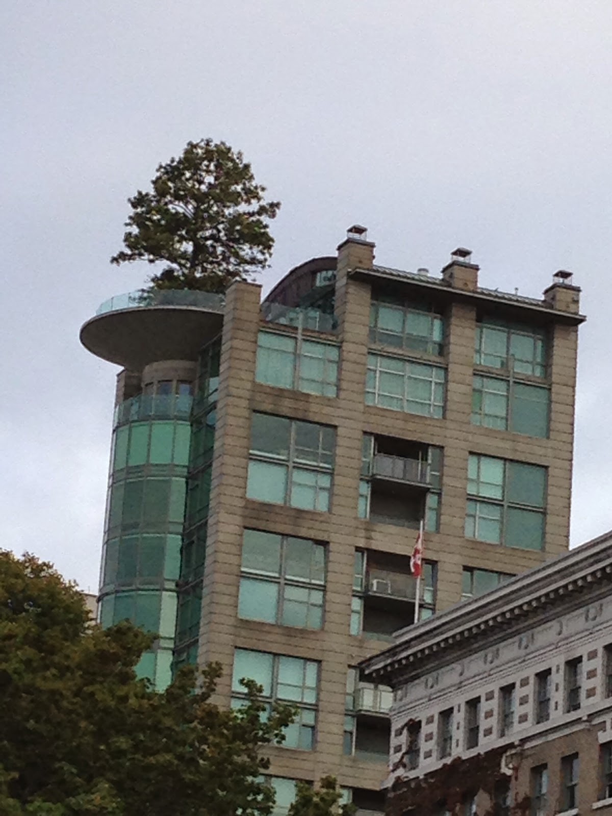
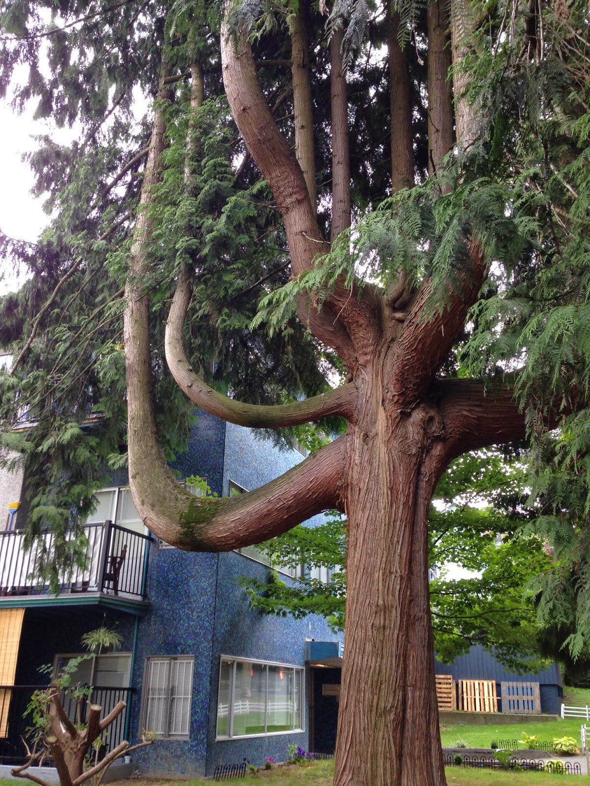
Check out the size of that tree on the balcony of a high rise in the West End

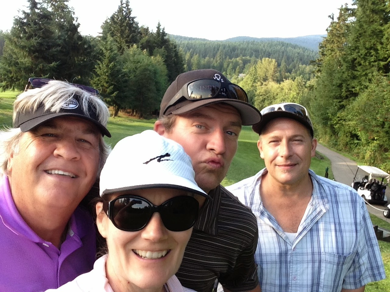
Golfing at Northlands Golf Course with Mark and Pauly


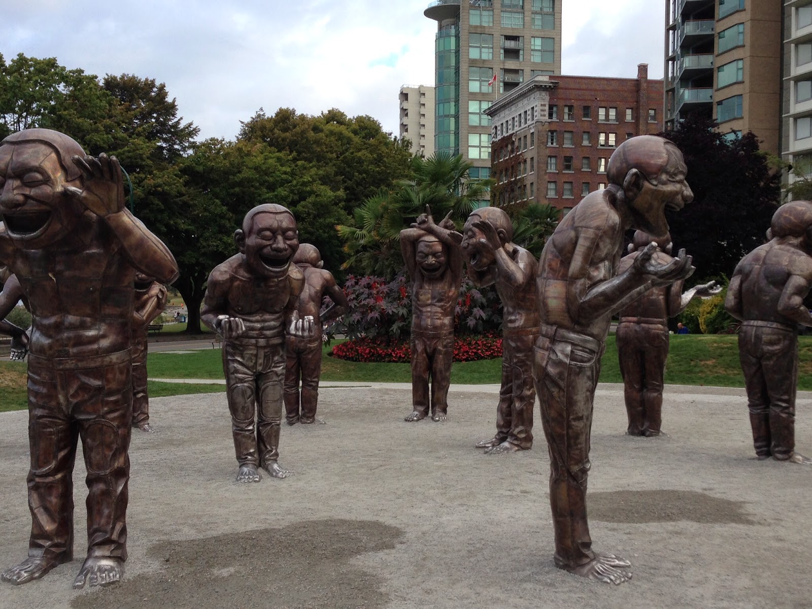
"A-maze-ing Laughter" sculptures donated to Vancouver by Chip Wilson, Lululemon owner

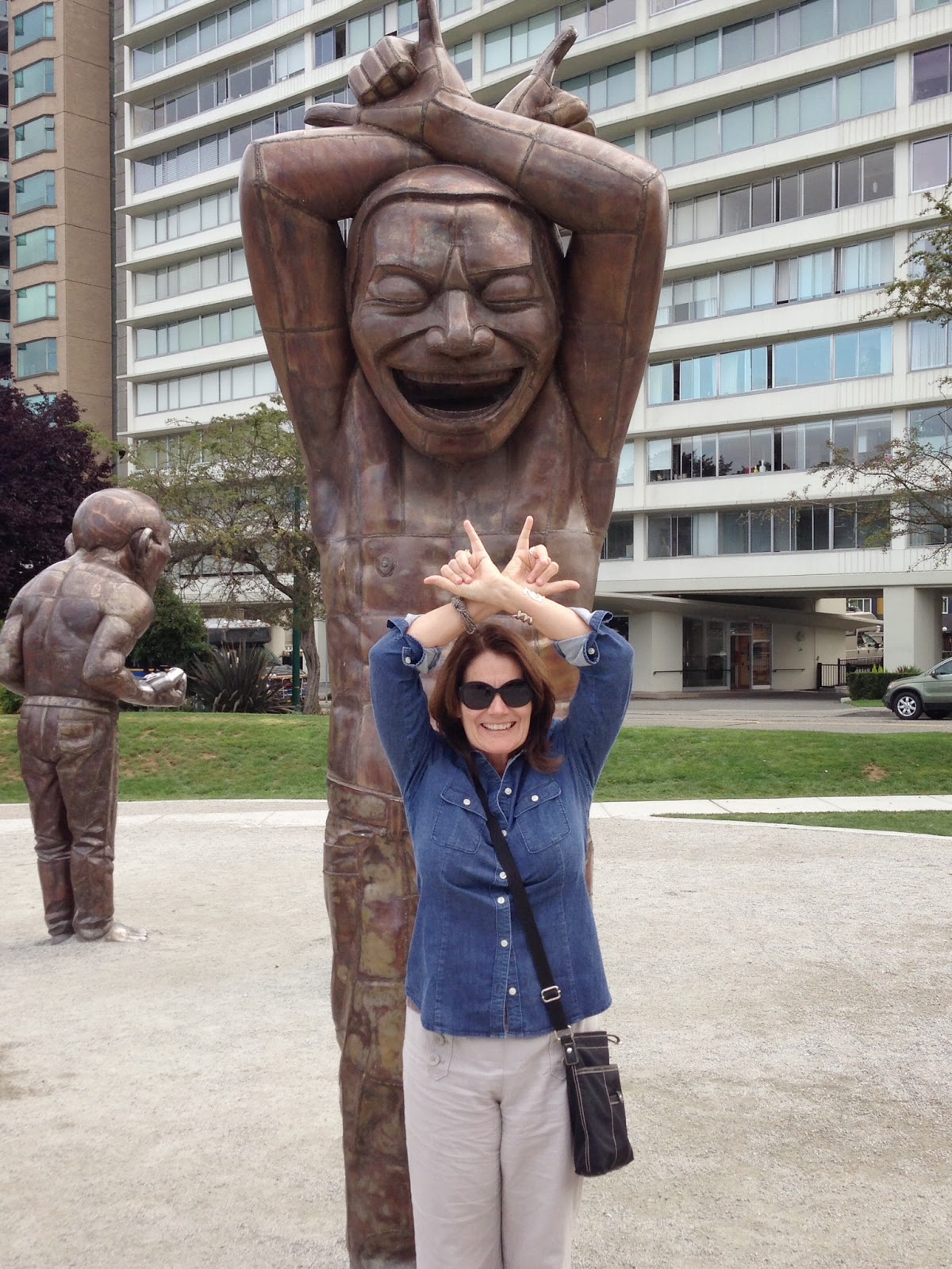
Casey, just for you! Hook-em-Horns!

The beautiful old Sylvia Hotel. Some of those vines are as big as my leg!

Cool old tree on Barclay Street

Sand Piper Restaurant with the skyline in the background

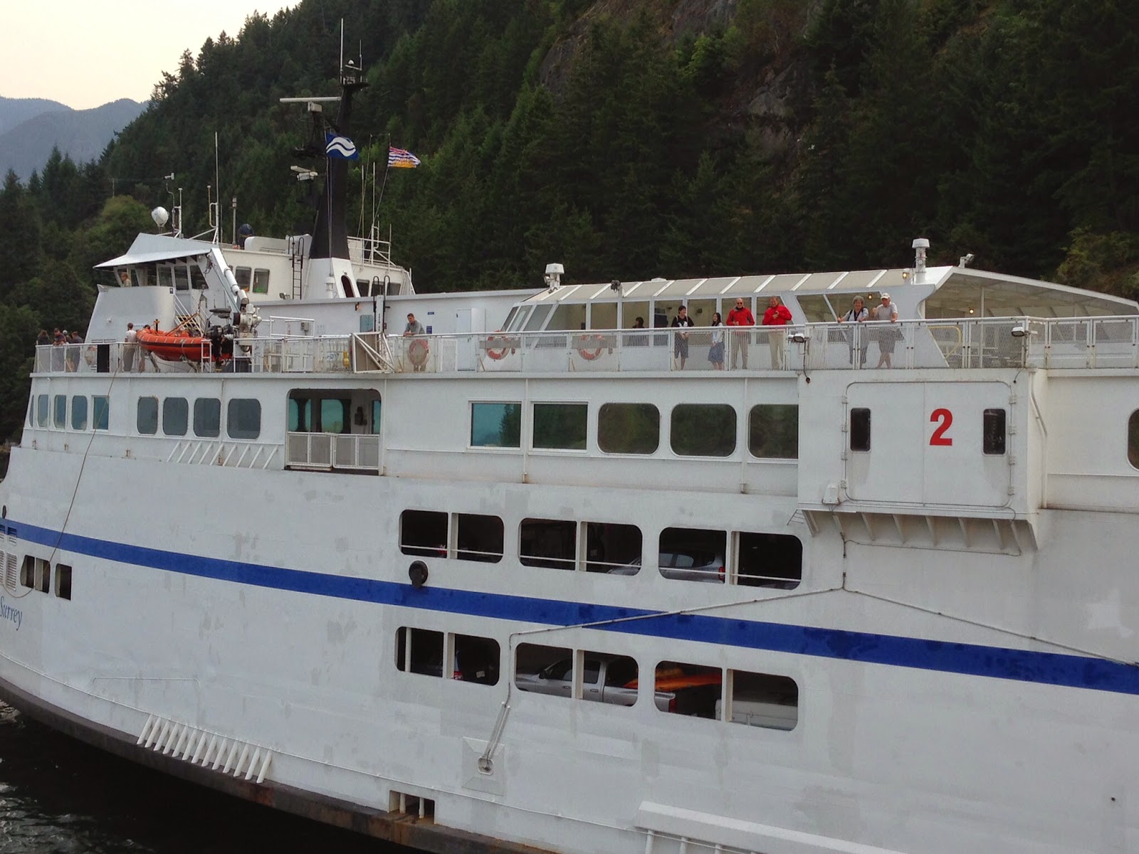
One of the three ferries we took to get to Hornby Island!

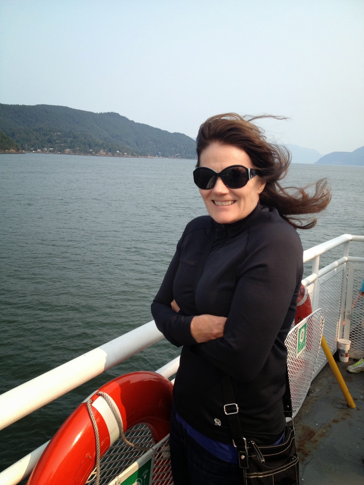
Yup, it was cold out on that deck.

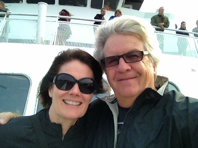
Selfie on the Queen of Cowichan ferry

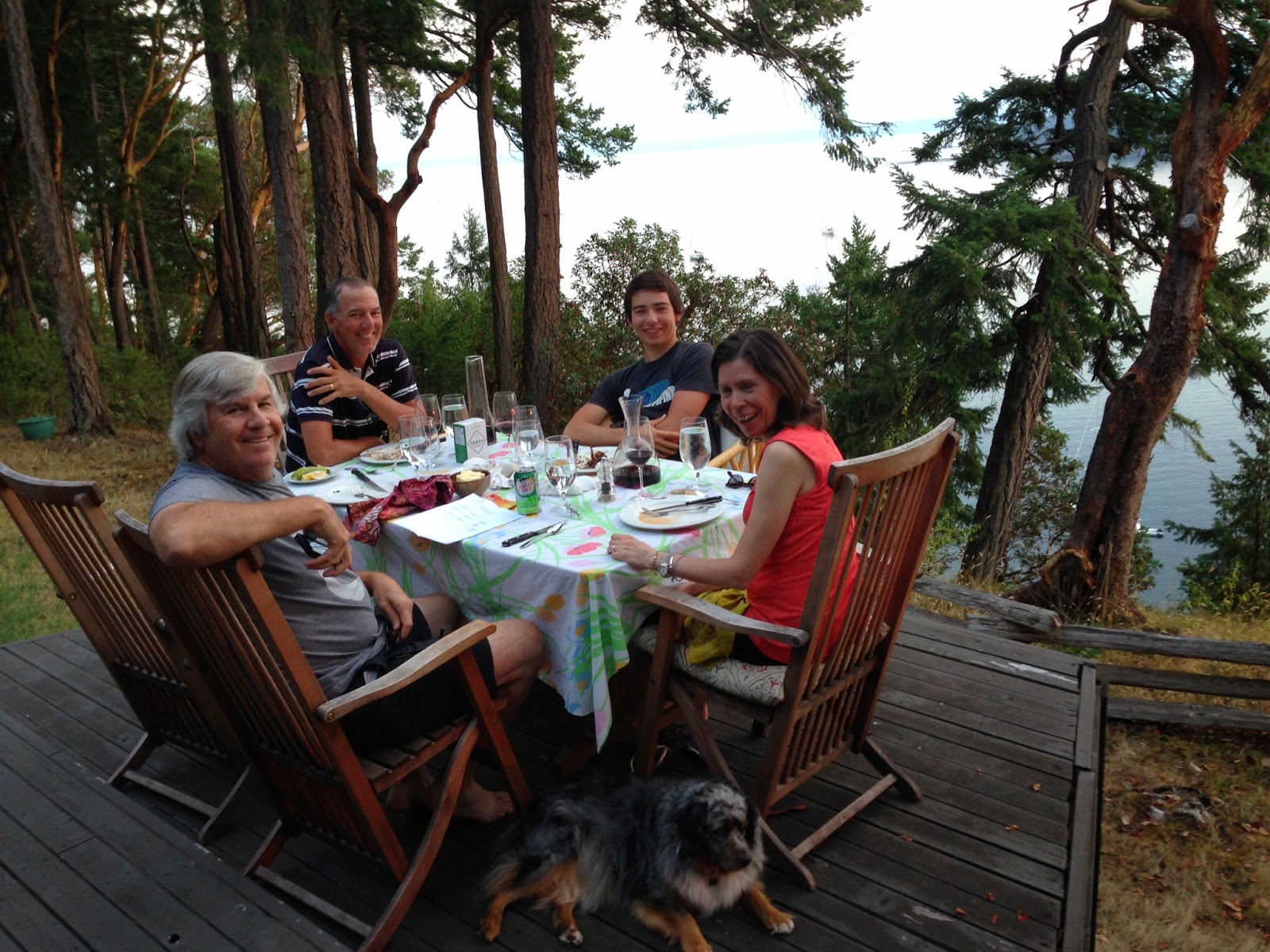
Jim, Jeff, Grif and Judy on the Smith family deck in Hornby

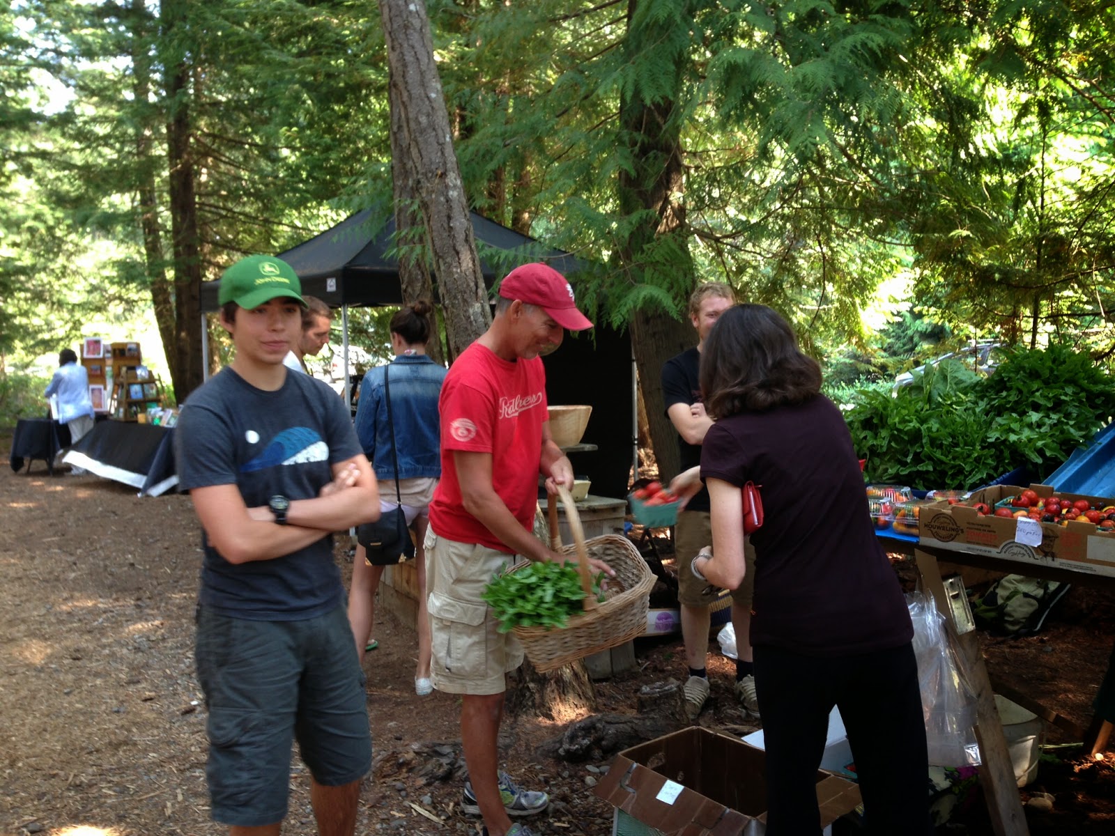
Grif, Jeff and Judy at the Hornby Farmer's Market. Fresh veggies every day!

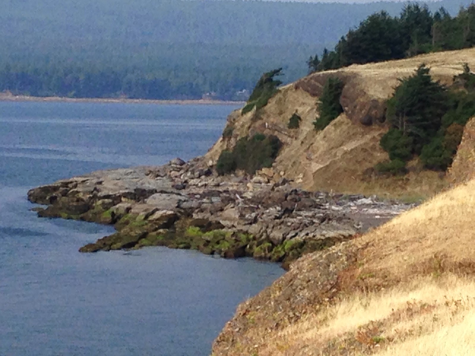
The coastline in the Helliwell Provincial Park on Hornby Island


My friend Judy and I in front of a huge redwood tree in the park
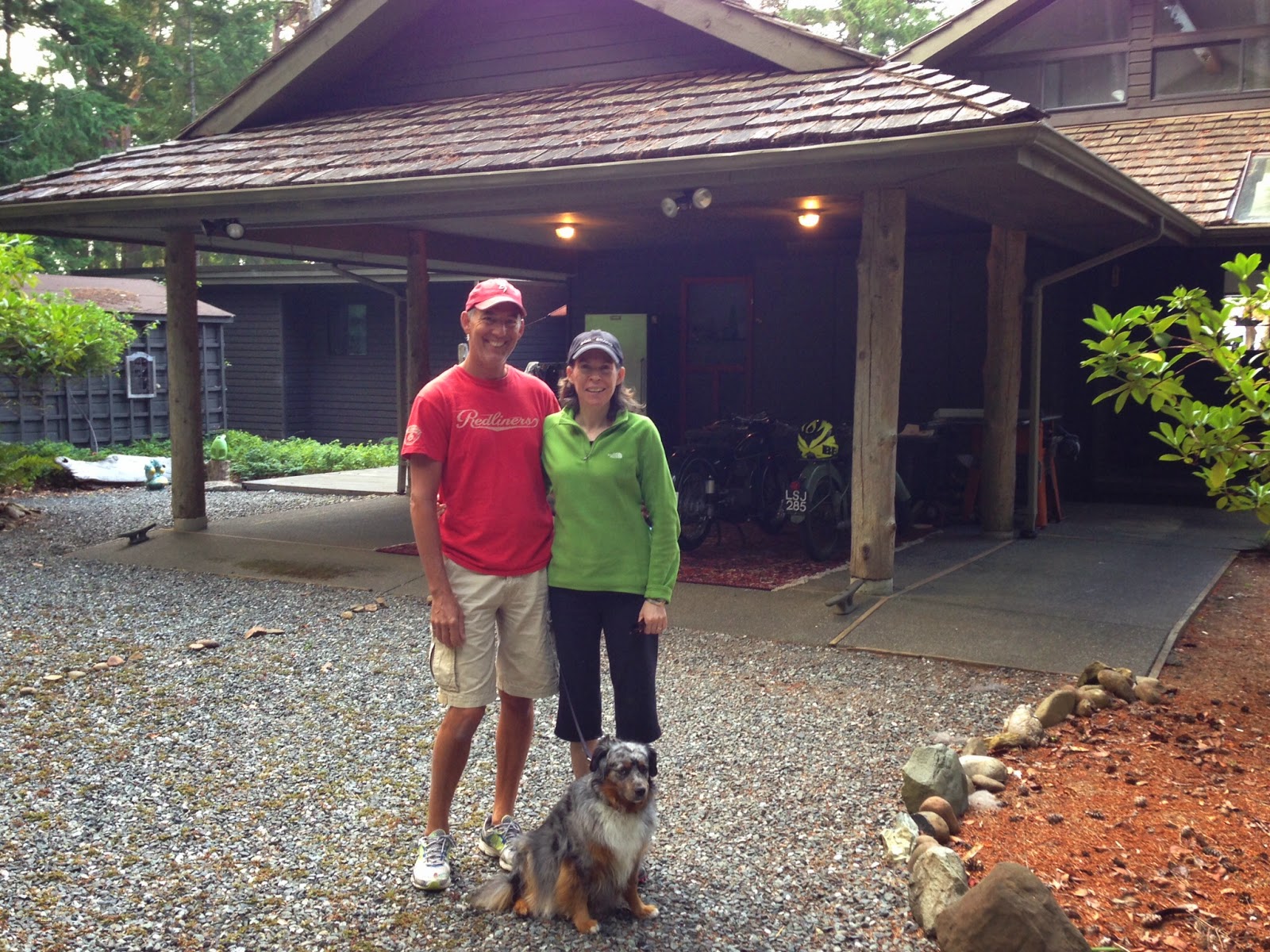
Jeff, Judy and Grace (the radish eating doggy)

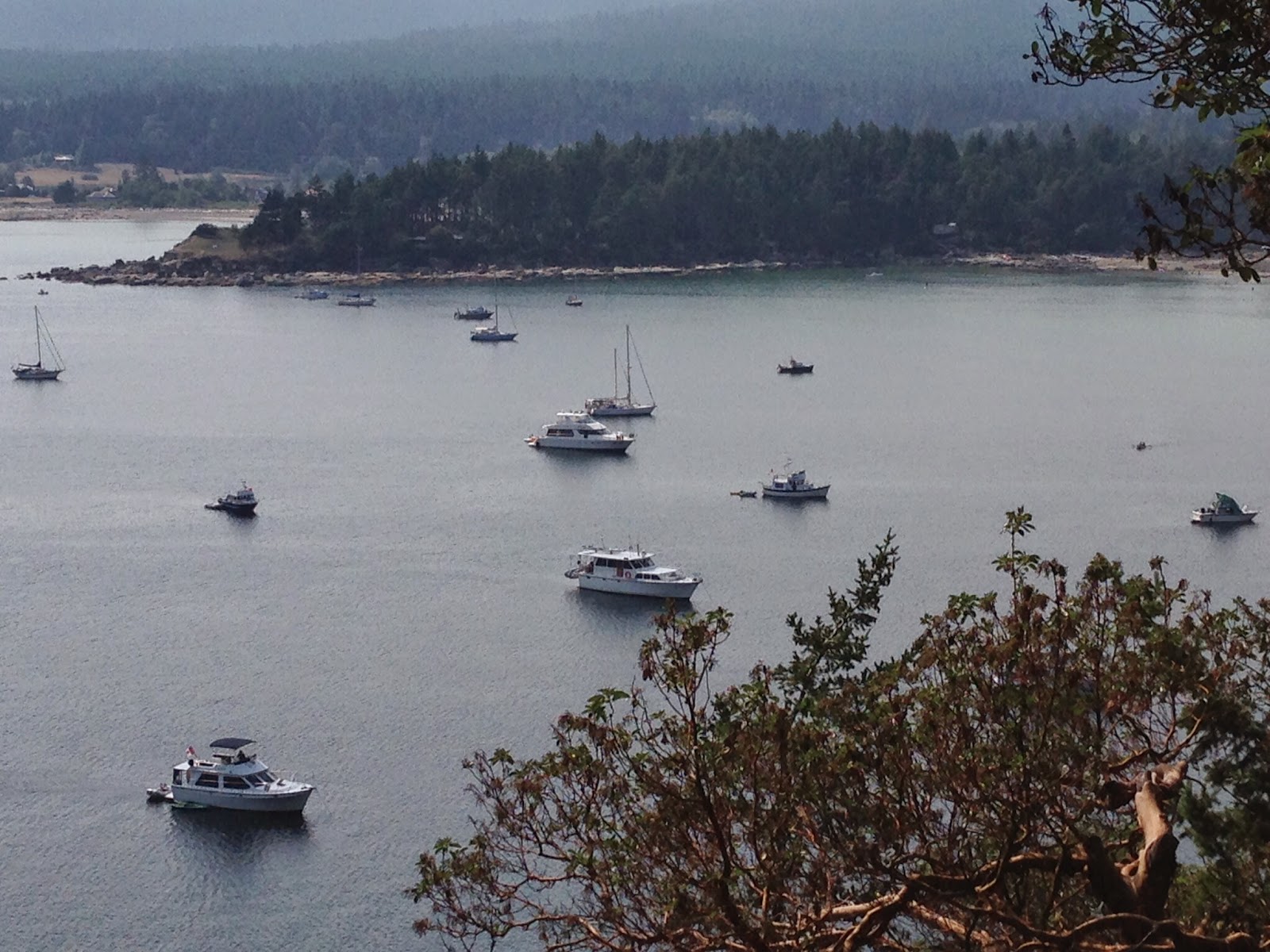
This was our view from Jeff and Judy's deck

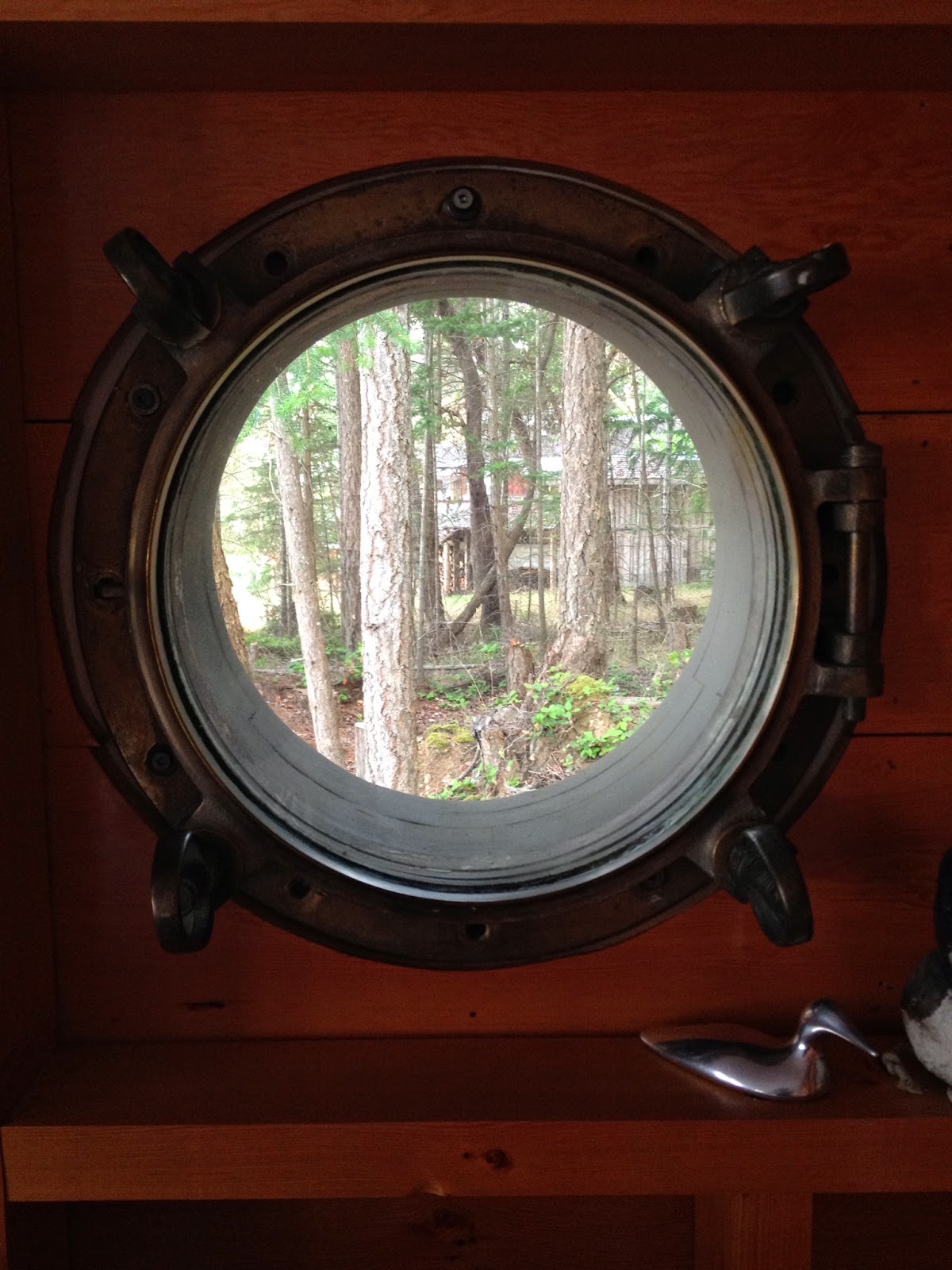
Now how many houses have a porthole?

Monday, August 18, 2014

Rawson Lake


Rawson Lake is a beautiful green lake sitting below the sheer cliffs of Mt. Sarrail in Kananaskis Country. The trail starts at the upper Kananaskis Lake, or known simply as Upper Lake, parking area and leads west along the lake shore. The hike allows for beautiful views of Upper Lake before forking left up a steep grade for about 1.5 miles. The trail eases up about a half kilometre before you get to Rawson, where you encounter a boardwalk, literally logs cut in half touching end to end. This ain't no Atlantic City Boardwalk! Then the rest is an easy hike to the lake. Once there, you can walk around to the far end of the lake and hike up to Rawson Ridge for views of Upper and Lower Kananaskis Lakes, or you can chicken out half way up like I did. The unofficial trail, and I mean unofficial, heads up a steep, strenuous dog run of a trail gaining 1200 feet in .8 miles. It was raining and the trail was slick. We climbed in a gully most of the way. About half way up, we encountered a rock overhang that we needed to get around. The only to do it was on hands and knees crawling through mud and rocks. If you missed a step and fell backwards.....well let's just say I wouldn't be writing this blog today. That's where I called it quits. Still had some beautiful views of Rawson Lake though.

My second moose sighting while driving to the trail head. 

Jim drinking water straight from the source of the stream. He didn't feel too good the next day.

Sarrail Creek waterfall

Rawson Lake

Crossing the stream before heading up the cirque.

Yours truly. That's some crazy hair.

A view across Lake Rawson


Jim is pointing to where I chickened out, half way up the gully.

A view of Upper Lake.

Hiking lass sitting below the gully we hiked at the top of the frame.

Clouds rolling over Rawson Ridge.

So beautiful!
See the red arrow half way up? That's where we turned around.

There are two unofficial trails, one that goes through the pink flowers and one that goes along the gully between the two stands of trees.


Wicked

I went to see the musical "Wicked" with my friend, Suzanne Lembach, last week. I had read the book several years ago and wasn't sure if a musical would work as an adaptation of the book, but it was AWESOME! So go see Wicked if you get the chance.


Dinner at Greek Town, Suzanne and yours truly.

Here we are at the Jubilee Auditorium, breaking the rules by taking a picture with the stage in the background.

The Amazing Glacier National Park!

This will be our last summer in Calgary so Jim and I are trying to see as many of the parks and preserves as possible. This past week, we finally made it to Glacier National Park, which is about a five hour drive south of Calgary. The park was established in 1910, and is located in Montana on the Canadian/US border. The park sits in the Rocky Mountains with over a million acres of land and more than 130 lakes. The main road through the park, up and over Logan's Pass, is called the "Going to the Sun Road," and it is not to be missed. The road was completed in 1932 and is designated as a National Historic Civil Engineering Landmark.

We arrived at Logan's Pass (elevation 6,646), located along the Continental Divide, where we started our hike to the Granite Chalet and on to The Loop, a trail head where we would catch a shuttle back up to Logan's Pass where our car was parked, completing a 12 mile hike. That was the plan..........

We started out at 11:00 A.M. and walked along the Highline Trail, a trail that follows the Garden Wall ridge and the Continental Divide. The trail overlooks the Going to the Sun Road and the valleys through the park. And when I say overlooks the Going to the Sun Road, I mean you are literally walking along a ridge cut into the rock face hundreds of feet above the road. A bit scary at times..... The first part of the hike, 7.6 miles, is a relatively easy hike. After that, you take a short side trip to the Grinnell Glacier overlook, where you will climb a mere thousand feet in a little less than a mile. The the long slow slog is worth the effort. We stopped a lot to catch our breath, probably every hundred steps.

After the amazing views and a short stop at the Granite Chalet, we started down a steep 4 mile trek to The Loop where we would catch our shuttle back to Logan's Pass. We had been told the shuttle ran every 15 minutes until 7:20 P.M. Well, just as we approached The Loop parking lot, we saw a shuttle pull away. It was 6:35 P.M., but there would be another one along in a bit.....or so we thought. As we were patiently waiting for the next bus, we noticed a sign that showed the times of the shuttle pick-ups. Well, guess what..... yup, we missed the last shuttle at 6:35. 

I saw a shuttle picking up across the street, which was headed the other way, so I ran over and asked the driver what we should do, thinking she would let us on her bus and would take us back up to Logan's Pass after her drop off (since we're such nice people). She told me, "there are a lot of cars still coming into the park, so you can hitch hike back up to the pass." Seriously? 

Okay, we asked every car in the parking lot if they were headed back up to Logan's Pass, but nobody was heading back in that direction, a twenty minute ride in the wrong direction. Finally a mother and her grown son told us they only had room for one of us, and that we would have to sit/lay in a bed thingy in the back of their car, which looked like a KIA Soul or something like that. We decided I would ride up and bring the car back down to pick Jim up. They prefaced their offer with, "we are taking pictures at every turn out so the ride might be a lot longer than 20 minutes." Great. Well, luckily, three little ladies took pity on us and told us that they had not intended to go all the way to Logan's Pass, but that they would go out of their way to give us a ride. These ladies had never driven in the mountains on a narrow two lane road, so the ride that should have taken 20 minutes turned into 40! Just guess where these angels were from......Texas! Yup, they were fellow Texans! We tried to give them money for gas, but they weren't having any of it. They did it out of the goodness of their sweet little hearts. They finally did acquiesce and accept a bottle of wine. Good ole Texans!

Please enjoy these amazing pictures, and if you ever get the chance to hike in Glacier National Park, don't miss it! Just make sure you don't miss the last shuttle!

One of many mountains viewed from the trail.

Looking down the valley from the trail. You can see the Going to the Sun Road in the middle of the frame.

A view of Lake McDonald.

Hiking man, Jim, looking for Grizzles. 

A lookout at Logan's Pass, where we parked our car.

View of the valley.

Our view of Grinnell Glacier after the killer hike up to the lookout.

Going to the Sun Road in the middle of the picture.


Not sure of the name of any of these mountains........sorry.

A deer we saw on the way down.

AMAZING!

We couldn't have picked a better day to hike!


A marmot we saw along the trail. He's about the size of a beaver.


More views of Grinnell Glacier.


Granite Chalet where you can spend the night. You pack in your own food and water.


Close up of Grinnell Glacier. There are actually people picnicking around the shore of the lake.


Part of the hike walks along a ridge above the "Going to the Sun Road"

Watch out for "old people" along the trail.....


Do you have any food??